 RotorLab
A full MAVLink ground control station — planning, live telemetry, video and guided commands — for multirotor, VTOL, fixed-wing and quadplane, on Windows and Android. What sets it apart is first-class ATAK integration, so your aircraft and your ground team share one common operating picture.
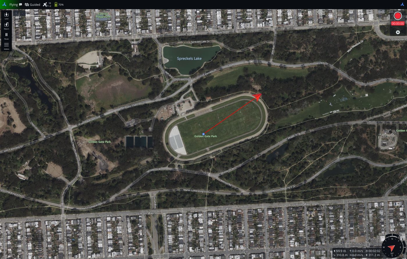
Your aircraft belongs on the map your ground team already has open — and that map can fly it back.
Published as a MIL-STD-2525 air track, parented to your ground station, by broadcast or direct addressing. Your team sees the aircraft on the map they already have open.
A map marker named GOTO 2 ALT 400 SPD 5 commands the aircraft exactly as a controller would — with per-verb permissions and a master arm, so you decide what the map is allowed to do.
Restrict who may send commands to a named list of ATAK callsigns or devices. Being on the network is not the same as being allowed to fly the aircraft.
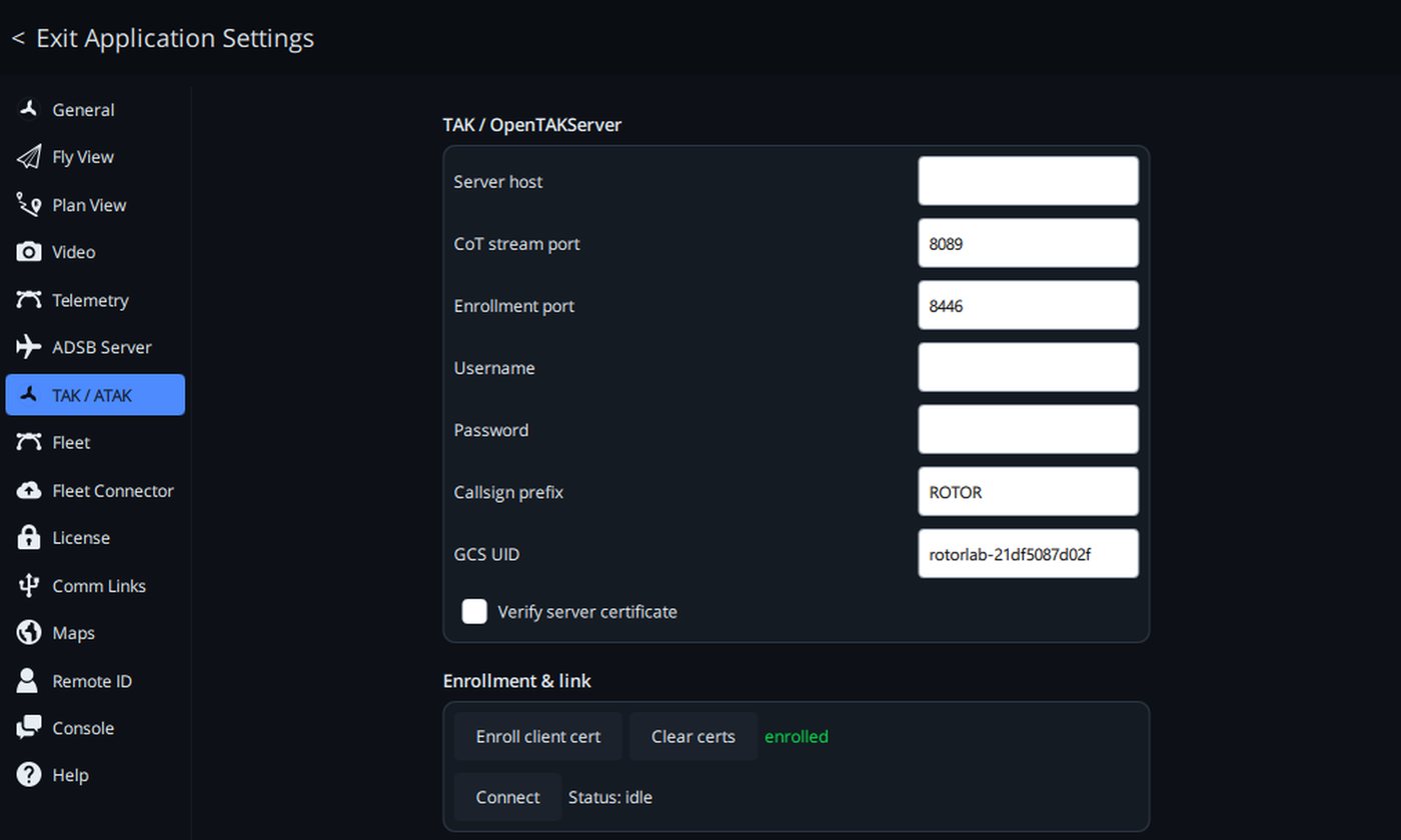
Enroll a client certificate over OpenTAKServer with mutual TLS, or import your own truststore and client key when your organization issues its own.
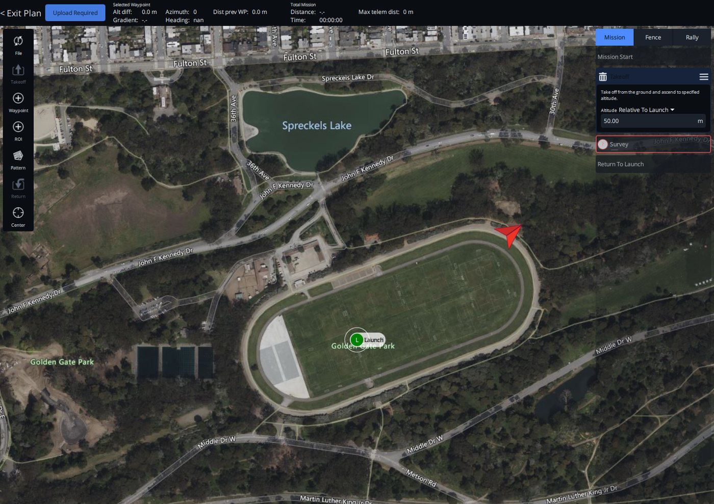
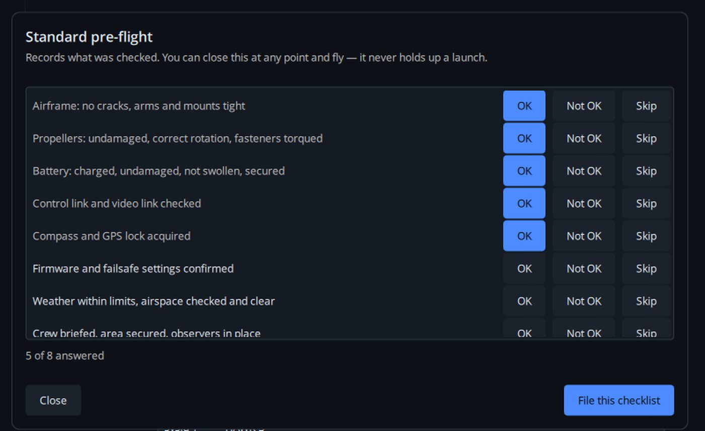
Mission planning, real-time instruments and video in one window — a clean interface tuned for working outside rather than at a desk.
Over USB, telemetry radio or a network link. Multirotor, VTOL, fixed-wing and quadplane all fly from the same screen.
Give each aircraft a callsign, tail number and video-feed URL — the feed hands off straight to ATAK for playback. Connected and saved aircraft sit together.
Windows 10 and 11, installer, or portable. Android tablets and phones on arm64. The same station on the bench and in the vehicle.
Flight physics, fleet operations and what shipped — written for people who fly. No spam, unsubscribe in one click.